


While it's known mostly as a navigation app, Google Maps has a bevy of other features that make it one of the most useful tools when planning a trip. I know, because I use it every single time I travel.
At Thrifty Traveler, we regularly tout Google Flights as the single best way to search for airfare. But once those flights are booked, the next tab (or app) you should open is Google Maps.
Google Maps takes all the information from Google and displays it on a map – but it's much more than that. It's a treasure trove of step-by-step walking directions, live public transit information, hotel data, location photos from street level, and 3D satellite images of nearly every inch of the planet. Some Google Maps features like driving or walking directions might be obvious for why they're useful for travel, but there are others that if you haven't used them before can help you dial-in facets of your trip better than you wouldn't believe.
I use Google Maps as the starting point for planning every trip, and I won't head to the airport before using all six of these features first.
My Maps
If you're a visual person like me, having the ability to have everything you want to do and see laid out on a map right in front of you is one of the most helpful things when planning travel – especially if you're trying to decide where to stay.
That's where Google My Maps comes in. We liken it to a visual itinerary – My Maps lets you create, save, and share custom maps for your trip. For me, the second step of planning a trip (after booking a flight deal), is starting a map with My Maps.
This is the My Map I made for my recent visit to Copenhagen, Denmark.
 32")
My Maps isn't just for your web browser – you can use it in the Google Maps mobile app too. Being able to access your My Map from anywhere is most of why it's such a valuable tool.
Here's what that same Copenhagen My Map looks like on my phone.
 33")
So, how do you put all of those pins on the map? Google makes it easy. You can scroll around the map and just click on sites you're interested in, or you can use the search bar at the top of the screen to search for things like the “Copenhagen Opera House” and add them to your My Map, too.
 34")
Once you have your items on the map, you can start to categorize and customize them. In this iteration of the map, I put all of our potential activities in purple and made the icons stars, and labeled them “Things To Do.” For the restaurants I was interested in, I saved them as red pins.
![]()
You can number items, too, which can be helpful if you're trying to decide the order in which you want to do them or prioritize certain things when visiting a place. It's also just an easy way to refer to the list on the left side of the screen, too.
 36")
Thrifty Tip: Use Google My Maps to help you decide where to stay. Making a My Map is the first step I take when searching for lodging. I put everything I'm interested in doing in that destination on the map, and then check to make sure the hotel or Airbnb I'm considering is in a convenient spot to make those things happen. You don't want to get caught on the outskirts of town or an hour from the places you want to see.
Once you set up your My Map, then you can start looking at how far away things are from each other and how long it might take you to get there. For instance, my wife and I were interested in trying the famous Mikkeller Baghaven brewery while we were in Copenhagen, but we wanted to try and bike or take public transit there.
With My Maps, you can dial-up directions between two locations on the map as we did below and save them into the map. That lets me pull up the route on the hotel Wi-Fi and then have turn-by-turn directions to get to the brewery.
 37")
This also works for walking directions. One night, we planned a dinner, some sightseeing, and a boat tour around downtown Copenhagen. I put the four points onto a map, got directions between each, and spaced out our reservations accordingly. Boom – a perfectly planned evening.
 38")
The directions work great if you're using your My Map on the app, too.
 39")
Public transit directions are also a breeze. The Copenhagen metro is really nice, so we used it quite a bit during our stay. As soon as we landed at CPH, travel weary and bleary-eyed, I quickly pulled up the directions I had saved to My Map, we boarded the right, color-coded train, and were at our hotel in 15 minutes.
 40")
Google My Maps is a great way to keep track of everything you did on your trip, down to the minute details like how long it took to bike or metro to specific locations. And that leads me to possibly the best part of My Maps: Sharing.
Do you ever have friends and family asking questions about your travels like “What was the name of that restaurant in Copenhagen that you loved?” or “Did you have to do a lot of walking to get to Rosenborg Castle?”
Now, you can just send them a link to your My Map.
 41")
With the tap of a few buttons, you can make your Google My Maps shareable. Here's a link to my Copenhagen My Map, for example. It's a great way to share knowledge with about places you've been and can be helpful in organizing group trips, too.
Hotels and Lodging Search
My first step when searching for lodging is creating a My Map. My second is going back to Google Maps proper doing a “Hotels” search.
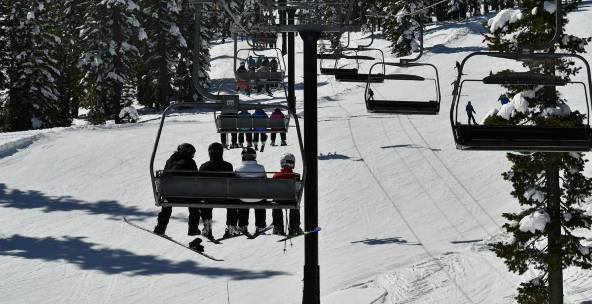
First, you search for your destination. Last month, I took a quick ski trip to Mt. Hood in Oregon to chase a snowstorm. I love Mt. Hood Meadows Ski Area because there's no lodging at the mountain and it has a generally unspoiled vibe. That also means that booking lodging isn't as easy as finding a ski-in, ski-out condo.
So I start my search with the place where I'll be spending most of my time: The mountain.
 42")
Once you've searched, Google holds onto that location and pins it. Click on the “Hotels” option at the top of the screen. It should give you results that look like this.
 43")
For many hotels, the nightly rates are actually listed on the map. That can help you hone in on the price point you're looking for.
Other lodging options like boutique hotels, independent resorts, or vacation rentals tend to show up as red dots. More on those later.
Another sweet feature of this Google Maps search function is the driving distance calculator. As soon as you click on one of the hotel results, you'll get a “route preview” that includes drive times from your hotel to your destination.
 44")
As we mentioned above, you should still look into some of those smaller, boutique hotels and rentals that pop up on the map, too. For instance, this spot – the Huckleberry Inn – also offered affordable rooms right in the heart of Government Camp.
 45")
Overall, using Google Maps to search for lodging is a smart starting point. From there, you can dig into sites like Google Hotels, Airbnb, and more to select the perfect spot.
3D Satellite Images
This feature is mostly just fun if I'm being honest.
When using Google Maps, you can toggle between lots of different map types from the default map you see below to a satellite view by clicking the button in the lower left corner.
 46")
 47")
As you can see by this 2D map of Chamonix, France, both the default maps and the satellite maps are pretty detailed. But, there's a better way to explore places where the terrain is far from two-dimensional.
By clicking the “3D” button on the bottom right of the satellite map (see above), you can get a better idea of what Chamonix really looks like. (Note: Make sure “Globe View” is enabled or you won't see the option to switch to 3D on the satellite map).
 48")
Once you're in this mode, you can zoom in and zoom out, or rotate the vantage point around by selecting “command” and then scrolling on your mouse or touchpad. I've wasted a lot of time exploring the cities I'm going to visit by doing flyovers in 3D. It's one of my favorite features.
But, it's not all fun. There are some practical and safety reasons to use 3D satellite maps, too.
Here's a good example. Last year, I booked an Airbnb in Chamonix that says it was within a 10-minute walk of the nearest ski bus. But before I put my credit card info in, I found the approximate location of the Airbnb on Google Maps and took a look at the walking route.
 49")
From the looks of it, most of the walk would be along a highway. Yikes! But upon further review in 3D mode, it turned out the highway wasn't much of a highway at all. In fact, it was just a two-lane road with sidewalks.
 50")
Looking around at the real, 3D images of the route helped me decide that this was the right place after all.
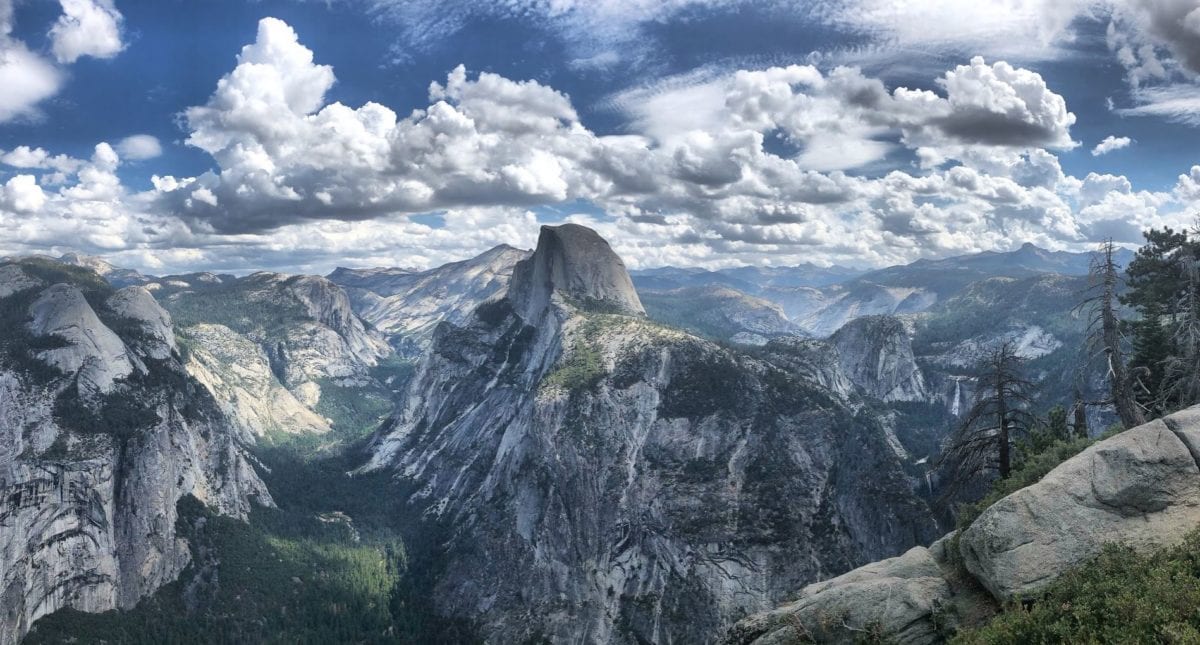
The 3D maps feature is especially great for outdoorsy types. Using my recent trips to Chamonix and Mt. Hood as examples has probably outed me as a skier, but I'm also an avid hiker in the warmer months. Both activities are very reliant on terrain, and the 3D images can give you a better sense of the terrain than any guidebook or trail map can.
 51")
This is a pretty zoomed-out look at Brevent-Flegere ski area in Chamonix, but you can zoom all the way in on individual lifts and ridges to see how the terrain actually looks.
If I have a cellular connection on the hill, I use Google Maps more than trail maps in many cases, especially because you can see the individual lifts and runs right there on the satellite image. It's pretty amazing stuff.
For big hikes, I like to do a 3D flyover of the trail to see if there's anything, in particular, to be aware of. While not every detail will show up (that's the beauty of getting out there and doing it!) you can see features like river crossings and, perhaps most importantly, get important beta about the parking situation at the trailhead, too.
Street View
The Google Maps Street View function, which lets you explore a location as though you were walking down the street, has proved invaluable to me when traveling to places I'm unfamiliar with.
Last year, my wife and I honeymooned in Zanzibar, an island off the coast of Tanzania in Africa. When I booked the flights, I couldn't tell you the first thing about Zanzibar or the Stone Town area of the city.
Thanks, in part, to aggressive imaging by the Tanzanian government, and a hodge-podge of user photos and information, too, Zanzibar has a sprawling network of Street View images available on Google Maps.
 52")
Everything that's blue on that map has a live, first-person image of the surroundings. Many of those are 360-degree images, too.
Once I decided on the Park Hyatt Zanzibar, I wanted to see what the check-in area looked like considering it was right on the beach and tucked into the heart of downtown. I dropped that little icon of a person into the map and there it was, right at my fingertips in Minnesota. Pretty insane.
 53")
There's another way street view can come in handy. Let's say you're worried about a walk you are planning to make between the hotel and a restaurant, maybe because you're traveling with someone with mobility challenges or just because you want to make sure you have a pedestrian-safe sidewalk to use.
Pull up the Street View and take a first-person look at the route yourself.
 54")
Using Street View to check out roads is also a great way to check on roads in more rural or underdeveloped areas. Do you need a four-wheel drive car for your trip? Street View might be able to help you see what kind of terrain you're working with.
Now, let's have some more fun. Street View is also my go-to for checking out attractions to see if there's as awesome as advertised. Is that hotel pool as Instagram-worthy as people make it seem? There might be a Street View image that can help you find out.
 55")
And, check this out: You can get a Street View of a boat ride from Zanzibar to the famous Mneba Atoll snorkeling, dolphin swimming, and diving area.
 56")
Plus, as you can see to the right of the island on the map, people posted geo-tagged photos from the sandbar, too. Here's one of them.
 57")
Pretty neat, huh? I love the map view in the bottom left-hand corner of the image showing that the photo was taken from the middle of the ocean. Street View and 3D maps go so far beyond what 2D maps can do.
Directions and Live Traffic
Let's get into some more practical uses of Google Maps, and this one I'm positive you already knew about.
Google Maps is good for…driving directions.
“Wow! Driving directions on Google Maps? Thanks, Thrifty Traveler!”
Stay with me…
 58")
It's what you can do with those directions – and how you can use them in advance – that can make a huge difference in your trip planning.
Let's say you want to go from Denver International Airport (DEN) to Breckenridge, Colorado for a mountain adventure. Above are some basic driving directions.
But, here's what a smart traveler does long before they ever get to DEN. Using the same search, input exactly when you expect to leave the airport using the “Leave now” drop-down menu. Select “Depart at” and then re-do your search to see how long it will probably take you based on years of traffic data on the route.
 59")
Notably, you can also search for “Arrive by” if you have to be someplace at a specific time, too.
When you use the traffic box at the bottom of the screen, you can see when the highest-trafficked times of day are and potentially adjust your journey accordingly. Driving to the mountains Friday afternoon is going to be painful, but not a tenth as painful as it will be navigating I-70 on a Saturday morning, for instance.
 60")
It's not the driving directions themselves, it's about scouting your route ahead of time and using Google Maps to beat traffic.
Live Public Transportation Information
The live traffic information on Google Maps makes planning drives much easier, but the live public transportation information on Google Maps has helped me more times than I can remember.
Let's say you are set to land at New York – John F. Kennedy Airport (JFK) for a trip to Manhattan. Jump on Google Maps and take a look at what your ride in on public transit might look like.
 61")
It looks simple, but I've felt like a fish out of water on the New York subways and LIRR before, and I don't recommend it. Google Maps changed all that for me.
Not only will it give me the fastest, straightest, or least expensive itinerary, but it will also tell me, second by second, what times the trains are operating.
The boxes on the left of this screen show that all the trains I looked at for this search are running “on time” and even show you minute-by-minute stop information.
 62")
Google Maps has access to more live transit data than any app. It hasn't steered me wrong yet, either on the ground or in my trip planning.
Bottom Line
As soon as I've booked my flights, Google Maps is the tool I go to next to start planning the rest of my trip.
From finding lodging close to the places I want to visit to navigating public transportation in an unfamiliar place to getting an idea to see what my destination actually looks like, Google Maps should be on every traveler's phone and bookmarked on every traveler's browser.

I am also confused. My Google maps only has “saved places,” and those are always blue pins. Cannot change color. How does one get to this “My Maps” from Google maps?
Even after all you wrote, I still can’t figure out how to use it.
I’m guessing that saving your work between trip planning sessions is intuitive??
Or do you have good tips that make that a sure thing. Just hate losing my work, and have never pulled up old maps before.
Thanks
good usefull article but so hard to follow especially my maps i was lost